Fire, Search and Rescue
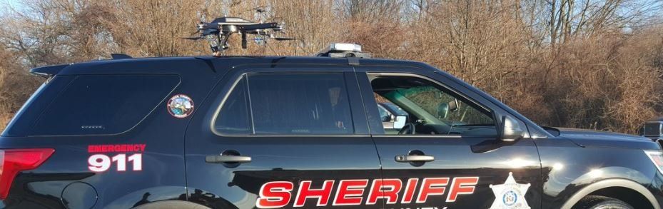
Fire Fighters and First Responders can all benefit from the use of Unmanned Aerial Vehicles. When time to scene is critical, UAVs can make a difference. Transported in a small case and launched in minutes, they are also considerably less complicated and less expensive to operate than manned systems. Whether you need aerial reconnaissance for surveillance and monitoring or Search and Rescue , we can help you with the systems to finish the mission. Sometimes having multiple UAVs may be required in order to accomplish wide-ranging missions. Review the options below and contact us with any questions, comments or to get a quote. All our systems are turnkey and ready to fly. We ensure training and support are included with every package.
Short range Monitoring and SAR
Short range missions are defined up to a distance of 1.2 Kilometers. These typically utilize a multi-rotor design with room underneath for a small payload. Unmanned Aerial Specialists has several systems designed for short range missions. Although there are many systems in the marketplace, we favor turnkey systems with an excellent support network. Click here
to see our solutions.
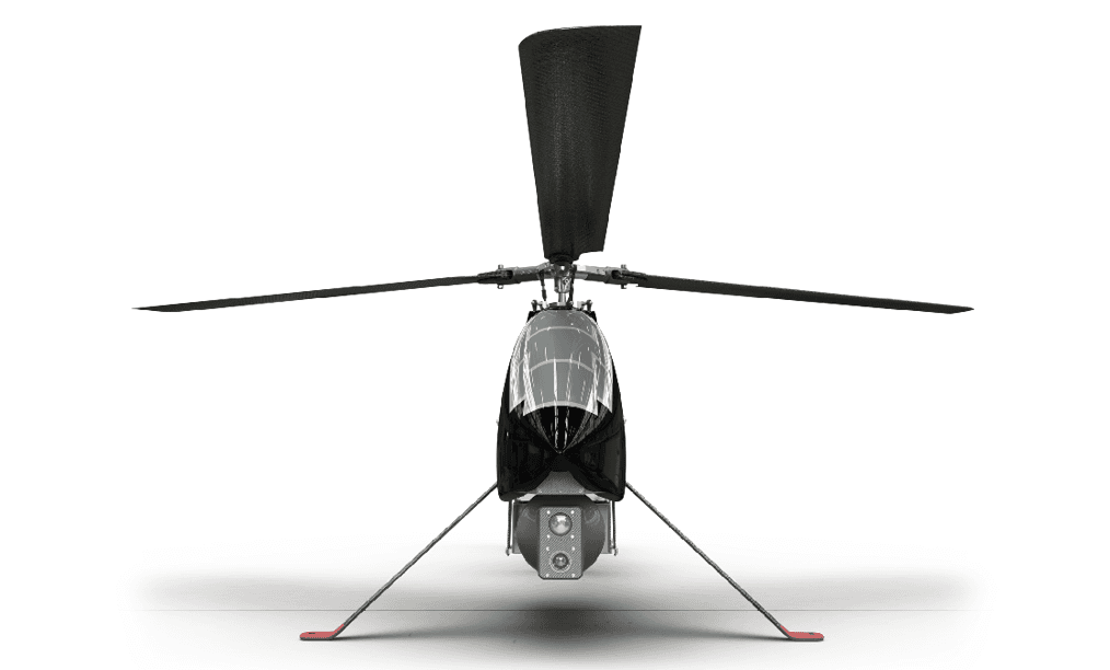
Long Range Monitoring and SAR
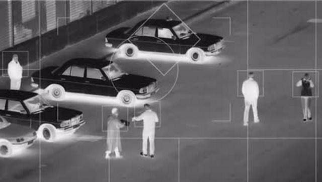
For mission ranges greater than 2Km or requiring longer time in the sky, FIXED WING and HELICOPTER STYLE drones are best. These systems can be used to track and follow fire paths and jumps in a fashion similar to manned aircraft without jeopardizing human safety. For Search and Rescue, properly equipped long range UAVs can provide a force multiplier in the hunt for missing persons.
We can guide you to the best long range systems to give you the edge for your mission. Click here
to read more.
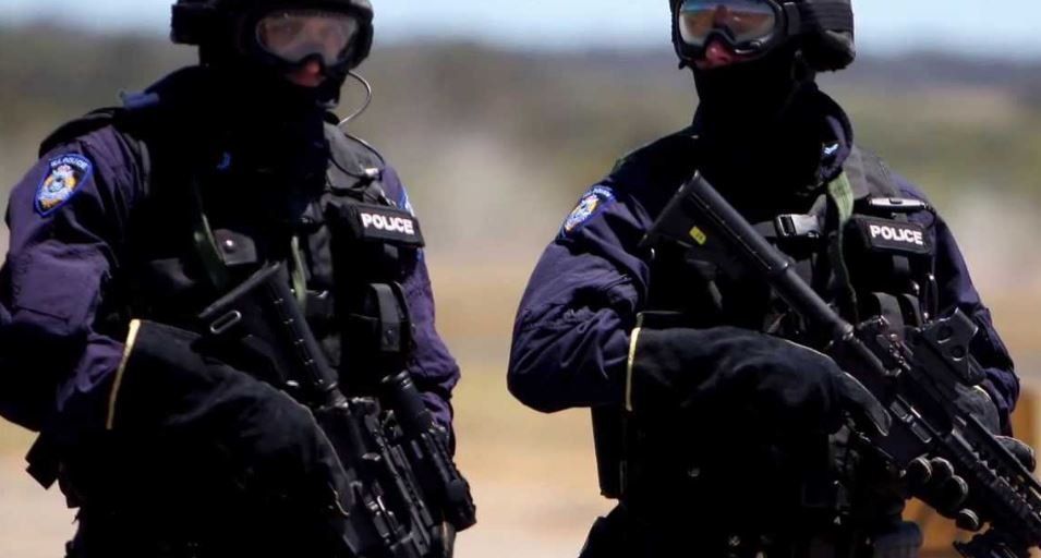
Tactical Monitoring and SAR
We have defined special tactical situations as those where situational awareness is required indoors at close range. Tactical UAVs can provide valuable imagery or video to insertion teams in life-threatening situations, such as damaged structures, underground areas, or dangerous, confined spaces.
Properly outfitted Tactical Unmanned Aerial Vehicles can provide another advantage. Imagery data can define a 3-dimensional rendering of structures and landscape of any area in a fairly short period of time. Check these out here.